Best Foot Forward: Bailiff Bridge to Brighouse


Map Co-Ordinates : SE 148252 to SE 146226
Continuing along field paths to Bailiff Bridge, the route passes the site of the old Firths Carpet Mills, before climbing to an 18th Century Woolrow Farm with extensive views to Iron Age Castle Hill above Almondbury and Emley Moor TV mast.
The Clifton Colliery Tramway, seen from Clifton Common, once carried coal to Brighouse Canal Basin. This is another short walk and should take you less than an hour to complete.
Advertisement
Hide AdAdvertisement
Hide AdHead up Birkby lane towards the viaduct. Take the first right along Birkhouse Road which is just after the new housing development.
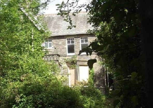
The road bears left which passes some houses and then winds it’s way to the right as it continues under the railway. At the top of the hill, sits Woolrow Farm.
Turn left just before the bend to climb a stone stile in front of a bungalow.
Turn right and follow the wall as you descend this hill to the bottom, climbing over stiles and through fields.
Advertisement
Hide AdAdvertisement
Hide AdWhen you reach the last field, you may spot horses grazing here so be careful.
In the bottom right corner is an opening taking you onto Thornhill Beck Lane.
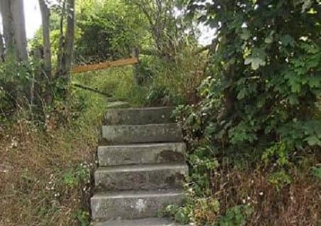
Turn right and head downhill. After about 200 yards turn left up some steps, to follow the path uphill, then go through the gap in the wall to emerge on to the road above. towards the viaduct.
Turn right to follow Thornhills where the road bears right and left near a large house.
Advertisement
Hide AdAdvertisement
Hide AdAfter about 200 yards, go through a gap in the left hand side of the gate, to follow a faint path downhill through a wide field.
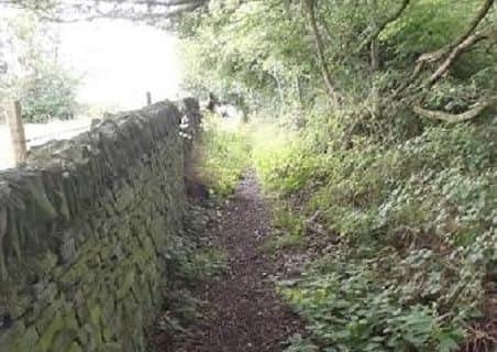
At the bottom go through a tight gap in the wall. Turn immediately left.
Whilst keeping the wall on your left and the trees on your right, follow an easy route to reach the steps at the far end.
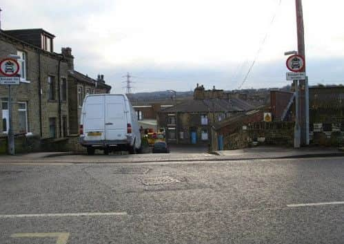
Descend the steps and carefully cross the busy A643. Head down the short street opposite Alegar Street.
Advertisement
Hide AdAdvertisement
Hide AdTurn right onto the busy A644. Turn left into Grove Street and along Mill Lane to Sainsbury’s at the far end.
Thanks to the following who published the walks in this area:
The Calderdale Way website (no longer working)
The Brighouse Boundary Way website (no longer working)
The AA website
‘The Cricketing Heritage of Calderdale & Kirklees’ website.
The Northern Beer Blog - seanliquorish.co.uk
Halifax and Calderdale CAMRA
Walk4Life
Calderdale Council
Mytholmroyd Walkers Welcome
Yorkshire Water
Milestone Society
Hebden Bridge Walkers Action