Calderdale coronavirus infections falling according to weekly figures
and live on Freeview channel 276
NHS Digital summary data shows that between September 13 and 19, the borough had a case rate of 47.1 per 10,000 of people (99 new cases), a 25 per cent decrease in cases over the previous period
The September 13-19 figures show an 86 per cent increase in triages – the number of calls from people who think they may have coronavirus to the various NHS lines – with 615.
Advertisement
Hide AdAdvertisement
Hide AdAlthough Calderdale’s rate is now better than many areas of England it is around the figure was showing when the borough was first put into local restrictions on July 31. All of Calderdale has been placed back in those local restrictions.

Wards that fall in the Halifax Parliamentary constituency (Illingworth and Mixenden, Northowram and Shelf, Ovenden, Park, Skircoat, Sowerby Bridge, Town and Warley) never came out of the restrictions but between September 2 and 21 the council’s Brighouse, Calder, Elland, Greetland and Stainland, Hipperholme and Lightcliffe, Luddenden Foot, Rastrick, Ryburn and Todmorden wards – effectively the Calder Valley Parliamentary constituency – had been allowed out of them.
The Government’s figures show the number of cases in each area in Calderdale between September 11 to 17 were as follows.
Todmorden West and Cornholme, 0-2; Todmorden East and Walsden, 4; Hebden Bridge, 0-2; Mytholmroyd and Cragg Vale, 0-2; Ripponden, Rishworth and Barkisland, 6; Greetland and Stainland, 4; Elland, 3; Rastrick West, 3; Rastrick East, 4.
Advertisement
Hide AdAdvertisement
Hide AdBrighouse, 5; Clifton and Bailiff Bridge, 0-2; Hipperholme, 0-2; Northowram and Shelf, 5; Central Halifax and Boothtown, 8; Sowerby Bridge, 0-2; Sowerby, Beechcroft and Luddenden Foot, 0-2; Norton Tower and Mount Tabor, 5; Savile Park, 6; Skircoat Green, 0-2; Southowram and Siddal, 5; Pellon East, 4; Pellon West and Highroad Well, 5; King Cross, 0-2; Wheatley and Ovenden West, 4; Ovenden East, 4; Mixenden, 4; and Illingworth and Ogden, 6.
The Government figures by local area are classed as Middle Super Output Areas – each has an average population of around 7,200.
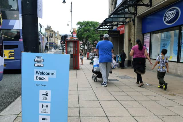
Both Calderdale’s Public Health Director, Deborah Harkins, and Leader of the Council, Coun Tim Swift have often indicated it will be a long haul but action is being taken and people can play their part by following handwashing, social distancing and mask-wearing guidance.
On Friday, Coun Swift (Lab, Town) said: “Our local contact tracing system is working well, helping us to understand the local situation in more detail and contain outbreaks.
Advertisement
Hide AdAdvertisement
Hide Ad“Our fantastic contact tracing team is using local knowledge to get extra insight into how the infection is spreading in Calderdale.
“We are not finding any single cause for the spread of cases in our area, but as we learn more about local cases we’ll be able to continue to take targeted action where it is going to have the most impact.”