A stunning walk from Sowerby Bridge


Pass under the railway bridge to follow Holmes Road. Beyond the factories and yards, cross the footbridge to reach the Navigation Inn and here join the towpath.
Continue for some time, passing the new housing development. Just beyond the pass-over of Hollas Lane, spot a recreation ground to your right.
Advertisement
Hide AdAdvertisement
Hide AdLeave the towpath to walk beside the river towards Copley, passing under a viaduct and around the houses until meeting Copley Bridge, reconstructed in 2017 after its destruction in the 2015 floods, and re-named Wilson Bridge by local residents and schoolchildren, after Graham Wilson who lived in the adjacent tollbooth for many years.
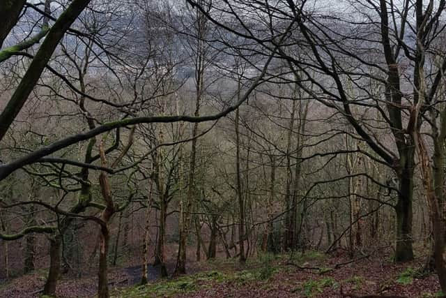
Cross the bridge and beyond the church a path turns left to begin the ascent through the beautiful woodland.
The path climbs, for the most part, gently and only the periphery noise reveals your proximity to the industrial activity nearby.
You eventually reach a right-turn which joins the Calderdale Way [note even the most up-to-date OS Maps do not accurately reflect the CW as it leaves West Vale].
Advertisement
Hide AdAdvertisement
Hide AdA final climb brings you to the top of the woodland, here turn right. You follow the edge of a steep descent into the trees and climbing a stile to meet Moor Bottom Lane, turn left then shortly afterwards, right to join a bridleway.
This straight track crosses Greetland Moor to reach Turbury Lane. Turn right here along the road before turning left immediately after Stockley House.
After approx. 0.25km, climb over the stile [right] to cross the field towards the edge of the collection of trees opposite. Pass between the trees and the rugby pitches to meet Norland Road. Turn left along the road until reaching the Spring Rock pub. Beyond the pub, turn right along a wide track to approach Norland Moor.
Approaching the entrance to the property located here, turn left along another straight path at the edge of the moorland. Gazing across to Wainhouse Tower you appreciate the height you have gained.
Advertisement
Hide AdAdvertisement
Hide AdYou leave the moorland beside the caravan site, re-joining for a short while the Calderdale Way. Turn left along the road, then a right turn to take Highlee Lane, passing between and beyond the farm and cottages.
The path begins a descent, however you soon come to a way-marked path leaving to the right.
This section, for me, adds yet more delight to this already charming route. You descend slightly across a field to enter woodland sloping away into the valley. Cross the footbridge and keep to the path at the top, exiting the woodland to continue across fields.
The path passes through more trees, it is quite clear, reaching ultimately a collection of properties labelled on the map as New Longley and East Longley. Contrary to what the map shows, turn left for about 50 yards then take a narrow pathway between two houses. You come to a dilapidated gate, turn right up the ascent, before continuing as before beyond a stile shortly up ahead.
Advertisement
Hide AdAdvertisement
Hide AdEventually passing a ménage, you reach another road before following the path opposite.
You come to Hob Lane as it bends; from here it is a return to Sowerby Bridge via the usually quiet roads.
Pass the Hobbit Inn, the road becomes Harper Royd Lane and you walk until the junction with Sowerby Croft Lane. Descend left, beware of the blind corner and passing vehicles; round the bend take a final turn right to descend Boggart Lane; a gradient you’ll be glad you are declining rather than ascending.
Keep going down and soon enough you return to the start; hopefully in agreement with me that this route is stunning, and a perfect example of how in Calderdale you don’t have to step far from urban settlements to enjoy the beauty of the countryside on offer.