Along the Black Brook from Stainland


Begin from the car park adjacent to the recreation ground in Stainland [SE 079 196]. Walk westwards to the edge of the ground entering a track to turn right.
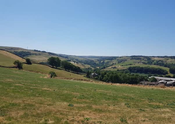
After one field, at the boundary, turn left along the wall; follow this into the next field, curving around to reveal the hidden valley ahead.
Advertisement
Hide AdAdvertisement
Hide AdFollow the wall all the way around the field until sighting a way-marker and stile leaving the field.
This lovely path enters woodland and continues, clearly, until it climbs out of the trees to an open patch of land.
Turn left at a yellow marker to descend a steep path towards the golf course. Carefully cross the course following the clear way-markers and exit next to the sixth tee.
Another very steep descent [cling to the trees to steady yourself] and finally a stile in the far bottom left of the field beneath.
Advertisement
Hide AdAdvertisement
Hide AdTurn right along the road and at the bridge turn left again to join the riverside path. For a long time much of this path was closed due to the 2015 floods and this was the first time I’d walked the whole stretch. At some points the path is indistinct, but in general, follow the water and aim for the mill buildings visible up ahead.
Reaching the buildings [Bowers Mill], walk through the courtyard and then bear left towards the car park, to turn right along the water’s edge.
Pick up a path at the far end and continue along the Black Brook to emerge among some houses [Lower & Upper Bank Houses]. Walk up to meet Beestonley Lane and turn right towards the rather lovely looking Barkisland Mill.
Turn left immediately after the mill and take the lane which approaches the Sonoco recycling plant; which, apart from steam rising above it on some days, is so cleverly hidden among the natural surrounds.
Advertisement
Hide AdAdvertisement
Hide AdAt the white bungalow, turn right through a stile to pass along its side and follow the clear path up and around the recycling plant.
You descend to a metal gate beyond it, turn right to climb until the road hairpins, and pass through the gate dead ahead which leads you onto Crow Wood Lane.
The path is way-marked through the property and stables and at the far end you will meet a cobbled lane on another hairpin bend. Head uphill until the sign for Park House Farm; here turn left along what appears to be the property driveway.Pass to the left of the building and garden picking up a bridleway which is a little overgrown [SE 061 180].
This becomes a really magical path; trees hanging overhead, holly and twigs crunching underfoot – I was not sure quite what to expect as I have only previously walked the path in winter; however it was remarkably traversable.
Advertisement
Hide AdAdvertisement
Hide AdAfter a long descent you meet a stile and a footbridge, passing between the houses and delightful gardens to meet Berry Mill Lane.
Turn left along the road for 400m until the road bends left and a clear track leaves to the right.
Follow the track for a short, steep climb before turning left at the way-marker indicating Dean House Lane.
This easy track continues for approx. 1.2km with beautiful views of the opposite valley bank and a few chimneys rising from the trees.
Advertisement
Hide AdAdvertisement
Hide AdAt the road [Forest Hill Road] turn right uphill to the next junction where you turn left onto Moor Hey Lane which is another easy route back towards Sowood and the main road.
Previously I’ve simply walked via the road back to the start but a much more pleasant route is left along the road for a short while and at the third path way-marker, cross the road and follow the track into the fields [SE 079 190].
At a minor dog leg in the path, there are stone steps to the left indicating a path that runs along the field edges back towards Stainland.
Holywell Brook burbles far beneath you to the East and the valley surrounds are a delight.