Best Foot Forward: Below Stoodley Pike


You need a car to get to the start of this walk.
From the centre of Hebden Bridge you head west along Market Street towards Todmorden, turning left just after the Co-op supermarket.
Crossing the canal, you turn right up a very steep hill.
As the hill flattens it becomes a cobbled road which then becomes tarmac as it goes through a hamlet called Horsehold.
Advertisement
Hide AdAdvertisement
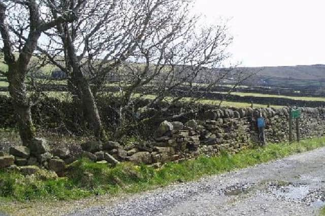
Hide AdDrive through Horsehold (the road bends to the right) back on to a cobbled lane.
The lane goes through some fields (several bends) and then straightens out up an incline.
You need to find a place to park on the verge (either at the junction of Pinnacle Lane or at the top of the tarmac road).
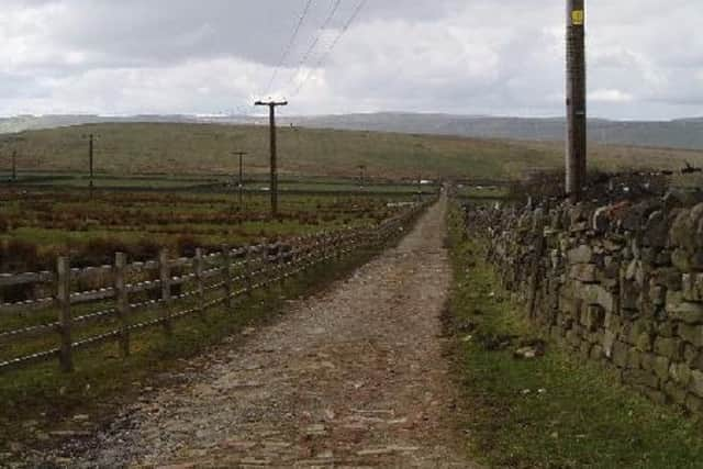
The walk begins at the top of the tarmac road where there is a cross roads. You will take the track to the right called Kilnshaw Lane.
Advertisement
Hide AdAdvertisement
Hide AdThis track is well maintained, but you may have to negotiate some water filled potholes after rain.
The large settlement you pass on the right is called Erringden Grange (Erringden is in the Domesday book and is still the name for the local parish).
The couple of farmhouses on your left are called Kilnshaw and Mitton.
Walking along the track, you will get fine views of Stoodley Pike ahead and panoramic views of Blackshaw and Heptonstall on your right.
Advertisement
Hide AdAdvertisement
Hide AdAfter a mile or so along the track, you come to a gate next to a conifer tree - here you will see a track laid with bricks going off to the right signposted Pennine Bridleway. Turn down this track which will connect you to the return route down Pinnacle Lane.
Half way down this track, you will see a gate and a Pennine Bridleway sign (PBW) pointing to the right. You take this grass track which runs between a wall and a wooden fence.
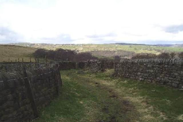
This can be very muddy if there has recently been rain. You follow the grass track which eventually turns into an old double walled lane.
Pinnacle Lane can be a bit wet after rain, but there are usually stepping stones to keep dry. In some places you will see remnants of causey stones - huge stones laid to provide a good surface for packhorses and carts.
Advertisement
Hide AdAdvertisement
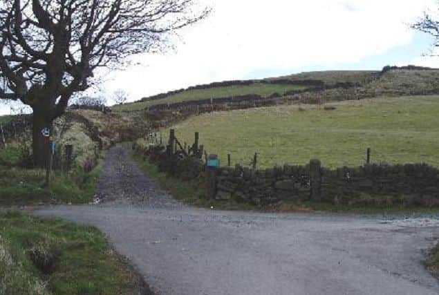
Hide AdUnsurprisingly the dwelling you pass on your left is Pinnacle where the stone sets turn into a made up road.
At the end of Pinnacle Lane, you should be able to see your car. You return to Hebden Bridge the same way that you came up.
Thanks to the following who published the walks in this area:
The Calderdale Way website (no longer working)
The Brighouse Boundary Way website (no longer working)
The AA website
The Cricketing Heritage of Calderdale & Kirklees’ website.
The Northern Beer Blog - seanliquorish.co.uk
Halifax and Calderdale CAMRA
Walk4Life
Calderdale Council
Mytholmroyd Walkers Welcome
Yorkshire Water
Milestone Society
Hebden Bridge Walkers Action
We’d love you to send us pictures and descriptions of your favourite walks from around Calderdale to [email protected].