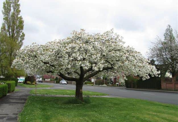
Best Foot Forward: Former Three Nuns to Thornhill Briggs


Just beyond the site of the former Three Nuns, the Kirklees Way turns left along a wide lane to a gate with a stile to the left of it.
Cross the stile to continue across the fields ahead, passing over another stile to reach a wide lane.
Advertisement
Hide AdAdvertisement
Hide AdFollow this uphill to where the road splits. Directly ahead in the corner of the next field is gap.

Go through here and follow the path through two fields, where the path descends slightly over a small bridge, before ascending uphill bearing right to reach the main road at the top.
Turn left along the main road passing the Gray Ox pub on your right.
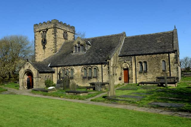
Continue uphill along Hartshead Lane to reach Hartshead Church on the left hand side of the road.
Advertisement
Hide AdAdvertisement
Hide AdOn the opposite side of the road note the mounting steps and the stocks.
The building in the centre has a large door facing the road, which suggests that it housed a
horse-drawn hearse. However the guide booklet for the church states that the building was a
school.
The stocks and a mounting block are opposite the church.
Turn left at the church down Ladywell Road and at the end turn right in between houses towards the main road.
Advertisement
Hide AdAdvertisement
Hide AdThe wide track bears left then right to meet a path emerging from the left.
Turn left down this wide track to a stile in the right hand side into another field.
Follow the path through this field straight ahead to another stile.
Cross this stile, and turn left to follow the wide track towards the motorway directly ahead.
Advertisement
Hide AdAdvertisement
Hide AdIn the distance to your right is a gas installation, and at the end of this track is a bridge which takes you across the motorway.
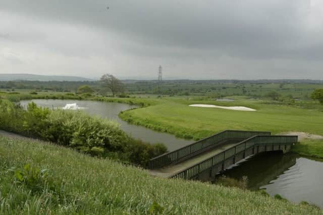
Turn right and follow this track down hill then turn left to follow this wide lane towards Clifton village.
Take care when walking this route as you are entering the golf course.
At the next junction, turn left where the route now bears right then left to emerge at another junction.
Advertisement
Hide AdAdvertisement
Hide AdFollow this path making sure that the golf course is on your right and a wall on your left, going through several stone stiles until you emerge on to
Highmoor Lane.
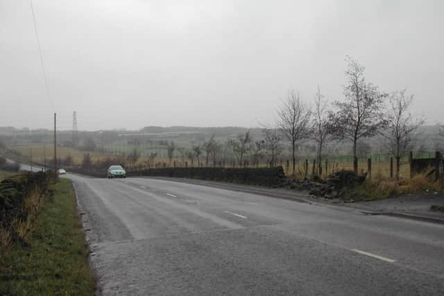
Turn left here for a short distance then cross the road to follow the farm access road to Green Farm.
Pass Green Farm on the left and a bungalow further on, to an overgrown track to your right.
Follow this track as it crosses a stile, then through a couple of fields to reach a small lane to the left of a house.
Advertisement
Hide AdAdvertisement
Hide AdAt the bottom of this track you will notice in front the side of a building painted white.
Turn right in to the main road to reach Thornhills Road. Turn right and follow the road uphill as it bears right.
As soon as you emerge on this road, take a moment to look over to your right to spot the railway viaduct at the bottom of the hill and the end of the route.
You need to pay attention to this bit, as it can easily be missed.
Advertisement
Hide AdAdvertisement
Hide AdAt the top of this hill on your right are two white gates at the side of a house, number 223.
Pass through the gates to join a public footpath and a stile leading on to a field.
Go through the gap at the end to another field, where the path descends downhill.
Keep the wall on your right as you emerge at the bottom.
Turn right where a stile leads onto Thornhill Beck Lane.
Turn left under the railway arches following the road downhill to the car park and the picnic site.