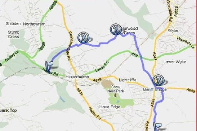
Best Foot Forward: Thornhill Briggs to Hipperholme


This is a slightly more manageable boundary walk than the Calderdale one, with only five walks between three and five miles in length.
The first 4.5 miles stage skirts through the edge of town and through fields to Hipperholme.
Advertisement
Hide AdAdvertisement
Hide AdFrom the car park and picnic area, turn right into Thornhill Beck Lane, and continue along the tarmacked road.
When you reach the railway viaduct turn left along the track, climbing steadily uphill.
Keep bearing left until you reach a junction, then turn left keeping a fence to your right until you reach a stile at the end.
Go over this stile and follow the path through a field to another stile in the corner.
Advertisement
Hide AdAdvertisement
Hide AdThis will now lead you downhill towards a bridge at the bottom.
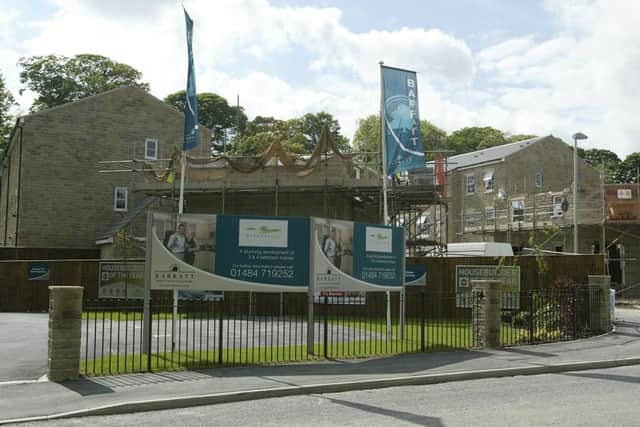
Don’t go over this bridge, but continue forward until you reach a gate leading you into a new housing estate.
Continue through the estate, climbing steps as you head in the direction of the old railway bridge, emerging on Birkhouse Lane.
Head towards Costcutter at the bottom by the pedestrian crossing traffic lights, then left to the next road, then right passing Bailiff Bridge Junior and Infant School on your right towards a ginnel.
Advertisement
Hide AdAdvertisement
Hide AdContinue over the footbridge and the stile at the top of the hill, and follow the path through fields towards Nord Green Nursery’s.
Cross the busy A58 to another stile, following the path through the field uphill to the railway bridge and the cricket field at Norwood Green.
Continue forwards passing a housing estate on your right to the war memorial.
Turn left along Village Street, where at the end of the row of terraced houses is a path on your left by an open ground.
Advertisement
Hide AdAdvertisement
Hide AdFollow the path around to where a sign points to the left in between a couple of houses.
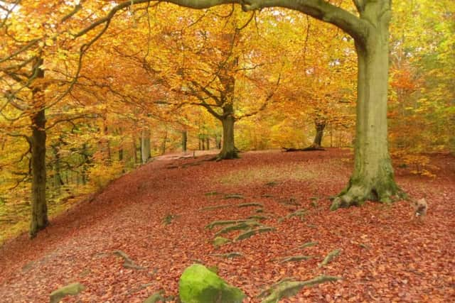
Go through the wooden stile and follow the path through a couple of field towards the edge of the wood seen directly ahead.
Turn right at the top of the wood for a short distance, where two paths meet.
Take the lower path towards a house at the bottom called Underhill.
Advertisement
Hide AdAdvertisement
Hide AdTurn left across the drive to find another footpath at the other side of the house.
Go over this stile and follow the path downhill, being careful as you go.
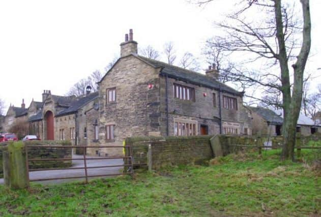
At the bottom of the hill to your right is a building.
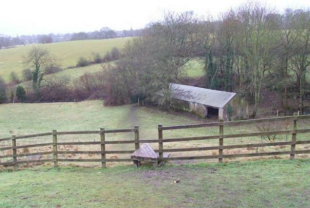
At the side of this building is another stile, leading to a stream and a flight of steps to your left which lead to another stile at the top.
Turn right and follow a line of trees towards a farm at the top of the hill.
Be very careful here as this part gets very muddy indeed.
Advertisement
Hide AdAdvertisement
Hide AdGo through a metal gate and follow the wall on your right through a field to an old wooden gate at the top, where finally a green gate leads you on to Shutts Lane, Priestley Green.
Turn left along Shutts Lane for a few yards, crossing the lane to a public footpath sign with a stile on the hedge opposite.
Go over the sign, and bear right through fields and the electricity lines to building at the top of the hill.
Head in the direction of a child’s play area, where a stile leads you to the entrance to Wynteredge Hall.
Advertisement
Hide AdAdvertisement
Hide AdBehind the hall, a path leads to a metal stile where the path descends downhill to a stile and public footpath sign on Soaper House Lane.
Turn right for a short distance, and look for a stile beside a gate on your left.
This will now take you through a field towards a farm.
Cross over the driveway of the house on your left to a stile, which gives access to Denholmegate Road.
On your left is the speed sign at Hipperholme and the entrance to Throstle Nest Farm.
Advertisement
Hide AdAdvertisement
Hide AdTaking care to cross the busy road, descend the footpath to the farm.
When you reach the house on your right, a gate in front of you leads you onto a track through the woods.
Follow the track straight ahead, taking care as you go because this route can get muddy at times.
When you reach a junction with three paths, take the lower track to your right will a wall on your left through a wooded area to a house at the bottom.
Advertisement
Hide AdAdvertisement
Hide AdTurn left, then immediately right between Woodfield House and Woodfield Cottage on your right.
Follow the footpath downhill, which is a private road, but is nevertheless a public right of way, to reach the A58 Halifax to Leeds road.
The next part of the route continues on the opposite side of the road, over the railway tracks.