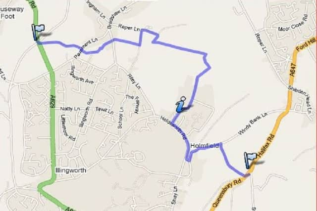
Best Foot Forward: Upper Brockholes to Catherine Slack


Map Co-Ordinates: SE 070298
Skirting to the north of Halifax, the route continues through fields and farms with a short, steep climb above Holdsworth and Holmfield before dropping into the Shibden Valley.
This is also another short walk, and will take about an hour to complete, it is advisable to start the next part of the walk another day, as the final climb up to Catherine Slack is a steep.
Advertisement
Hide AdAdvertisement
Hide AdTake the track on the right hand side of the bus stop, Blind Lane, walking almost due east to Pavement Lane.
A bridleway, closed to motor vehicles after South Peat Pitts, which is the house in the distance, which is looking towards Per Lane, Upper Brockholes.
Cross this road and follow the path through a couple of stiles until you reach a field. Cross the next field to head towards the building ahead.
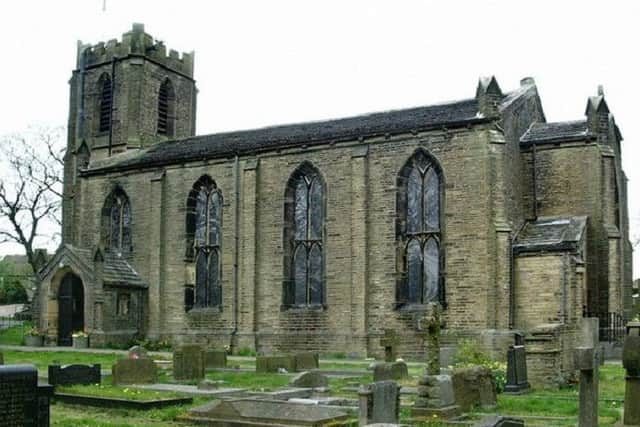
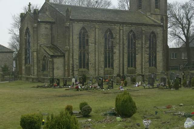
Go through this stile and turn left, to go through the gate on your left. Following the path leading you towards the church.
Advertisement
Hide AdAdvertisement
Hide AdGo through the stile at the bottom of this field to Riley Lane.
Turn left then right through to another field with a stile at the far end.
Here the route takes a detour as it winds its way to the left and right towards a short ginnel at the bottom of the farm.
Go through this stile and turn left, following the path all the way down to the bottom.
Advertisement
Hide AdAdvertisement
Hide AdTurn right and head through some trees until you reach the first of three large ponds.
Take the path to the right of the first pond and follow this until you reach the third pond.
Look for a path to your right where a small bridge will take you to a stile and a field.
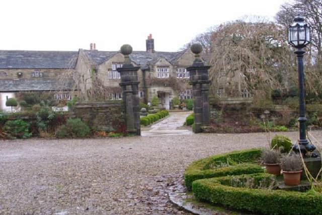
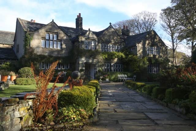
At the top left hand corner of the field is a metal gate, which will take you through an industrial estate and onto Holdsworth House this is now used as a popular wedding location.
Advertisement
Hide AdAdvertisement
Hide AdKeeping Holdsworth House on your left follow this path all the way to the end.
Turn left here and follow the road downhill to a junction. Turn left and left again following the route uphill.
(Note: From past experience this last bit uphill is pretty steep but well worth the effort).
When you pass a terraced house on your left, turn right into Cobbled Crooked Lane.
Advertisement
Hide AdAdvertisement
Hide AdWhen you reach the top turn left, where a sign points in the direction of the ski slope.
The next part of the route crosses Queensbury Road (A647) and down Swalesmoor Road.
If you want to finish the route there is a regular service between Halifax and Bradford. For Halifax, the bus stop is on the opposite side of the road. For Bradford, it’s just past the Queensbury Border sign.