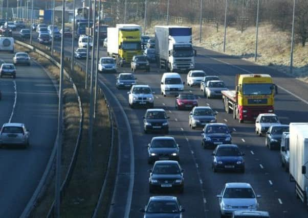
Drivers urged to take care during cold snap


With largely clear skies and no cloud cover, the Met Office is urging the public to take care on untreated roads and paths hit by frost.
Temperatures are set to dip to minus 2C in Pickering in north Yorkshire in the early hours of Sunday while temperatures in Leeds are set to dip to minus 1C by 4am.
Advertisement
Hide AdAdvertisement
Hide AdOvernight snow across the Pennines should peter out by tomorrow morning, but the odd wintry shower will continue near coasts.
There is expected to be a widespread overnight frost with some ice on untreated surfaces.
Travellers have been warned of potential disruption from a 100-mile wide corridor of snow moving eastwards into Britain.
The Met Office has warned of the threat of difficult driving conditions from sleet and snow, which will move from western Scotland down to southern England throughout the day.
Advertisement
Hide AdAdvertisement
Hide AdTemperatures are expected to fall to as low as minus 10C in rural Scotland over the weekend as the winter chill sets in across the UK.
Freezing conditions will affect most parts with the Met Office issuing yellow ice warnings covering the east coast of Scotland and England as well as Wales, Northern Ireland and parts of south-west England and the Midlands.
The Met Office said: “Outbreaks of sleet and snow will spread from the North West on Saturday, initially into western Scotland, and then into parts of north-west England later in the day before reaching the Midlands and southern England during the evening and night.
“One to three centimetres of snowfall is likely at low levels with 5 to 10cm possible above 200 metres across western Scotland and Cumbria.
“Ice may prove an additional hazard in places.
Advertisement
Hide AdAdvertisement
Hide Ad“Please be aware of the potential for some travel disruption and difficult driving conditions.
“A frontal zone moving eastwards into Britain on Saturday will run into and stall against the cold air mass which became established over the UK earlier in the week.
“This allows rain at the leading edge of this frontal zone to turn to snow and persist for several hours before the frontal zone weakens during Sunday, allowing less cold conditions to start developing and some of the snow to start melting.
“This snow is expected to fall along a relatively narrow corridor, perhaps only 100 miles wide, which means that some areas within the warning area may escape much of the snow.
“Meanwhile, where snow is limited or rain occurs instead, icy stretches may develop on untreated roads as rain and snow starts.”