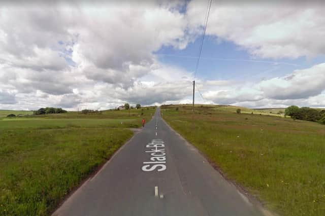
. Slack Bottom
Slack Bottom is a road that is known up and down the country due to its unusual name. Located above Heptonstall the road stretches from Smithy Lane to (you guessed it) Slack Top at the other end. Photo: Google Street View
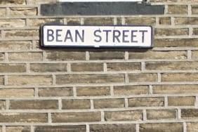
. Bean Street
Bean Street, located at Upper Edge in Elland, is quite an unusual name for a road. It's unclear what gave this its name but it's unlikely that the street off Dewsbury Road was named after the tinned variety. Photo: Google Street View
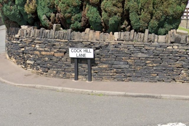
. Cock Hill Lane
There are a few 'Cock Hills' around Calderdale including Hebden Bridge, Shelf and Cragg Vale, This winding road stretches from West Street to High Cross Lane out towards Queensbury. Photo: Google Street View
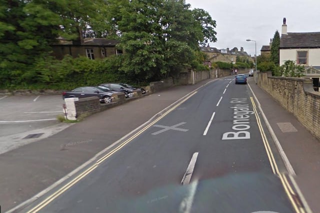
. Bonegate Road
There are a number of locations in Brighouse with the name Bonegate, including Bonegate Road heading up to Waring Green. Historically the definition is the street of the bondsmen. Photo: Google Street View
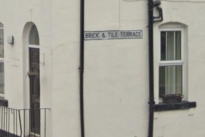
. Brick and Tile Terrace
This short road is located a short distance from Brighouse train station. Just off Gooder Lane it is thought the houses were built for families and workers at a nearby quarrying company. Photo: Google Street View
. Cat Lane
Not the most unusual street name in Calderdale but something that's a little bit different, Cat Lane is located off New Lane out of Sowerby Bridge around the Boulderclough area. Photo: Google Street View
. Catherine Slack
Catherine Slack in Brighouse runs from Smith House Lane up to Coach Road near Hove Edge. Slack is a Norse word for valley but it's unclear it was named after a Catherine who lived there. Photo: Google Street View
. Clog Sole Road
A street off Halifax Road in Brighouse, Clog Sole Road combines two words together to make a pretty unusual phrase. Photo: Google Street View
. Badger Lane
As with Cat Lane, Badger Lane is possibly very self-explanatory but naming a street after a furry creature is still quite odd. The road begins at The Long Causeway and ends at Rawtenstall Bank. Photo: Google Street View
1. Bean Street
Bean Street, located at Upper Edge in Elland, is quite an unusual name for a road. It's unclear what gave this its name but it's unlikely that the street off Dewsbury Road was named after the tinned variety. Photo: Google Street View
2. Cock Hill Lane
There are a few 'Cock Hills' around Calderdale including Hebden Bridge, Shelf and Cragg Vale, This winding road stretches from West Street to High Cross Lane out towards Queensbury. Photo: Google Street View
3. Bonegate Road
There are a number of locations in Brighouse with the name Bonegate, including Bonegate Road heading up to Waring Green. Historically the definition is the street of the bondsmen. Photo: Google Street View
4. Brick and Tile Terrace
This short road is located a short distance from Brighouse train station. Just off Gooder Lane it is thought the houses were built for families and workers at a nearby quarrying company. Photo: Google Street View