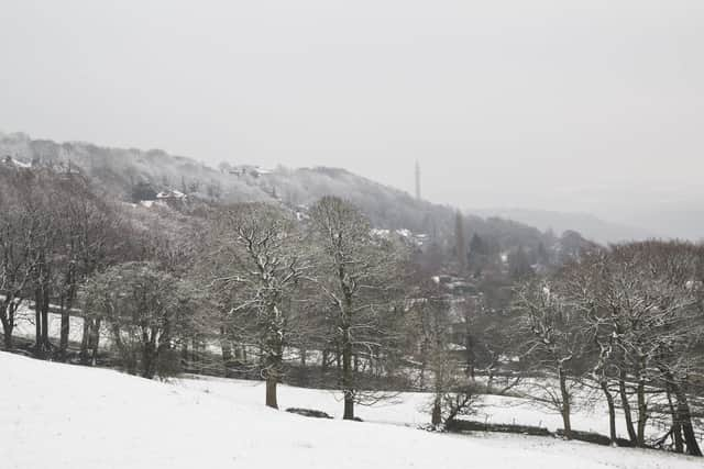
Snow and ice weather warning for Calderdale issued by Met Office
and live on Freeview channel 276
A yellow warning for snow and ice is in place until 9pm tomorrow.
A spokesperson for the Met Office said: "An area of rain pushing north-eastwards is expected to turn snow in places as it encounters colder air across Scotland and parts of northern England.
Advertisement
Hide AdAdvertisement
Hide Ad"At first the main hazard may be of rain falling onto frozen surfaces leading to ice, especially on higher level routes.

"However snow becomes more likely later Wednesday and at least for a time on Thursday.
"Heavier snowfall is more likely above 100 m in Scotland and above 200 m in England, where 5-10 cm of snow may accumulate, possibly 20 cm on highest routes.
"At lower levels, 2 - 5 cm of snow may accumulate in places, but the situation remains finely balanced, with the possibility that most lower-lying areas in northern England see rain or sleet rather than snow."
Weather forecast ahead
Advertisement
Hide AdAdvertisement
Hide AdTonight: Rain becoming heavier and persistent during the evening, turning gradually to sleet at low levels but snow over high ground. Some significant accumulations expected. A cold night. Minimum temperature 0 °C.
Thursday: Outbreaks of rain, snow over high ground, slowly easing through the morning whilst becoming confined to the west. Some bright spells likely in East Yorkshire by the afternoon. Remaining cold. Maximum temperature 3 °C.
Outlook for Friday to Sunday: Cold on Friday, with early morning frost and isolated fog patches. Windy with heavy rain on Saturday morning. Breezy though largely dry thereafter, with occasional sunshine Saturday afternoon and Sunday.