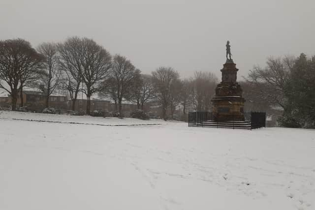
Snow in Halifax: Two days of snow forecast for Halifax, Elland, Todmorden, Sowerby Bridge, Brighouse and Hebden Bridge with Met Office warning for disruption
and live on Freeview channel 276
The weather experts say there could be “potentially impactful snow” for some as an arctic airmass exerts its influence on the UK’s weather.
The BBC’s weather forecast is currently showing two days of snow next week – on Wednesday and Friday.
Advertisement
Hide AdAdvertisement
Hide AdWhat begins as sleet on Wednesday afternoon is being predicted to become light snow showers from around 5pm right through to 9pm.

And Friday could see Calderdale waking up to a winter wonderland, as snow is being forecast again on Thursday night from around 7pm until 10am on Friday.
Met Office deputy chief meteorologist David Hayter said: “While the initial snow risk from Sunday onwards is looking most likely to be coastal areas in the north of the UK, including North Sea and Irish Sea coasts, there’s an ongoing likelihood of some disruptive snow through the middle to latter part of next week.
“What we’re keeping an eye on for this disruptive snow is where exactly this milder air from the southwest bumps into the cold air that will be in place over the UK.
Advertisement
Hide AdAdvertisement
Hide Ad"It’s where these airmasses meet that there’s a likelihood of some substantial snow for some places.
"At the moment, models are showing us a variety of options for exactly when and how this situation plays out and it’s something we’ll be able to add more details to in the coming days.”
Tomorrow is set to be dry with light winds and temperatures ranging between 1C and 6C.
Saturday will be much the same and there is some sunny spells expected on Sunday.