
Storm Bert: Repairs needed and volunteers praised as council is debriefed on storm that brought flooding across Calderdale
River systems came close to being breached when 50 mm of rain fell on Calderdale in 24 hours during last November’s Storm Bert.
And as river levels were high during that period on November 23 and 24, local drains and watercourses were unable to drain into the rivers causing additional flood water, resulting flooding closing some roads.
Calderdale Flood Recovery and Resilience Programme Board partners were considering this winter’s severe weather events, of which Storm Bert was the most severe – bringing heavy rainfall, snow flurries and rapid thawing, they heard.
Ed Norfolk, Calderdale Council’s corporate lead officer for flood risk management, said widespread flooding to varying degrees was reported across the boroug,h with 206 requests for services logged.
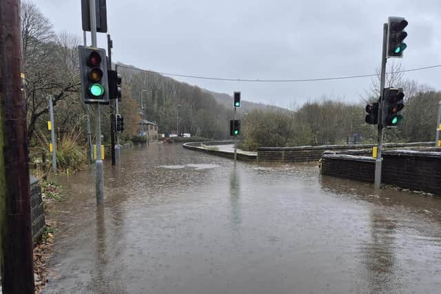

Although rain gauges across the borough reported an average of 50mm rainfall over a 24 hour period, the highest level was recorded at Gorpley rain gauge west of Todmorden, which showed 88.6mm over 24 hours.
Places were alleviation schemes are proposed or planned but not yet begun or completed, at Walsden near Todmorden and Stubbing Holme Road near Hebden Bridge, reported some river flooding, and failures in some land drainage systems on private land were also received.
Based on reported incidents in Calderdale, several council-owned assets have been inspected and will need repair, including to the borough’s road network.
Volunteer flood warden groups were praised for their contributions to mitigating the effect of the storms.
The board heard: “As these weather events become more common, it’s clear that further investment in flood defences, land drainage systems and climate action initiatives will be crucial to mitigating future risks.”