Storm Gerrit: Yellow weather warning for rain brings the potential for disruption and flooding in Halifax, Dewsbury and Wakefield
and live on Freeview channel 276
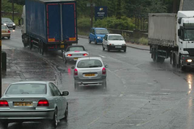
Heavy rain brings the potential for disruption to travel and a risk of flooding.
A number of flood alerts are in place at points along the River Calder in the county.
Advertisement
Hide AdAdvertisement
Hide AdThe warning is part of Storm Gerrit which will bring strong winds and heavy rain to many parts of the UK.

Met Office Chief Meteorologist Frank Saunders said: “Storm Gerrit will run towards western UK on Wednesday and bring with it potential impacts for much of the UK.
“Winds across southern coastal areas of England will be strong, possibly peaking around 70 mph on exposed coastlines, but more widely around 50-60 mph within the warning area.
“Rain is an additional hazard from Storm Gerrit, with active weather fronts leading to a wet day for many. Snow is also likely to cause problems for some northern areas: only briefly for a few upland routes across the Pennines and southern Scotland overnight and early on Wednesday, but more widely to the north of the Central Lowlands later in the day. Here around 10 to possibly 20cm of snow may affect some of the highest routes, this combining with very strong winds to lead to some difficult travel conditions. At lower levels a combination of heavy rain and very strong winds will dominate.”
What to expect from yellow flood warning for rain
Advertisement
Hide AdAdvertisement
Hide AdThere is a slight chance of power cuts and loss of other services to some homes and businesses
There is a small chance that homes and businesses could be flooded, causing damage to some buildings
Spray and flooding could lead to difficult driving conditions and some road closures
Where flooding occurs, there is a chance of delays or cancellations to train and bus services
There is a small chance of fast flowing or deep floodwater