Storm Isha: When the wind is set to calm down in Halifax, Brighouse, Hebden Bridge and Todmorden as yellow weather warning is extended
and live on Freeview channel 276
Last week the Met Office issued the weather warning for Sunday night into Monday, which was later upgraded to an Amber warning.
The yellow weather warning has now been extended until Wednesday in Halifax.

Here’s the Met Office forecast for the coming days:
Advertisement
Hide AdAdvertisement
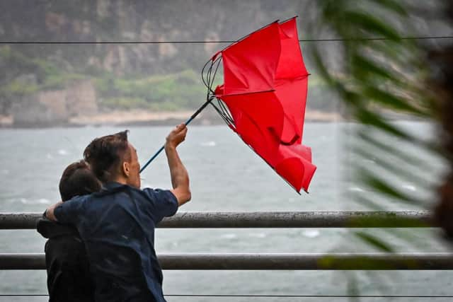
Hide AdToday (Monday) strong winds continue across the region following the passage of Storm Isha, with gale force gusts across western high ground. Generally a bright day with sunny spells, especially in the east, with blustery showers pushing in from the west. Maximum temperature 8 °C.
Tomorrow (Tuesday) will see a dry and cloudy start, with cloud thickening and winds strengthening once more ahead of a band of heavy rain moving in from the west, clearing later. Widespread gales likely. Maximum temperature 13 °C.
Dry and bright with sunny spells on Wednesday (January 24), breezy at first. Maximum temperature 9 °C.
What to expect from Storm Isha
Some damage to buildings, such as tiles blown from roofs, could happen
Injuries and danger to life from flying debris are possible
Advertisement
Hide AdAdvertisement
Hide AdPower cuts may occur, with the potential to affect other services, such as mobile phone coverage
Injuries and danger to life could occur from large waves and beach material being thrown onto sea fronts, coastal roads and properties
Some roads and bridges may close
Road, rail, air and ferry services may be affected, with longer journey times and cancellations possible